November 06, 2025
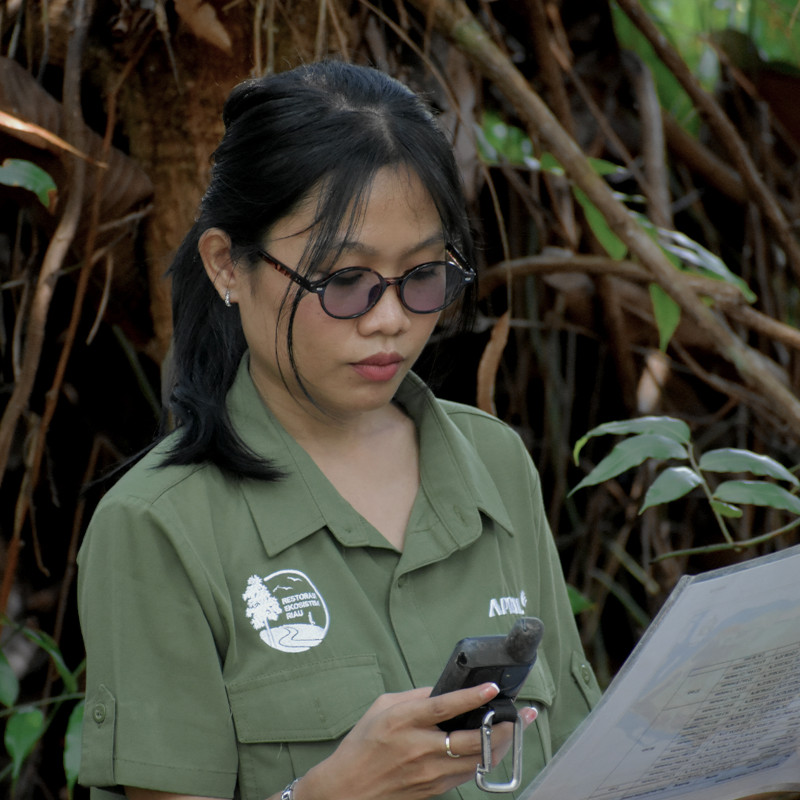
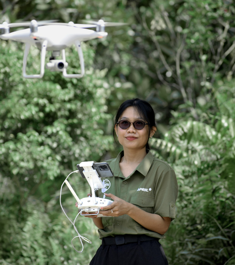
Melisa Angelina Manurung has found a role that gives her deeper purpose as a GIS Analyst at Restorasi Ekosistem Riau (RER). A 2021 graduate of Urban and Regional Planning from Diponegoro University, Melisa initially lacked a conservation or forestry background. However, her expertise in Geographic Information Systems (GIS) is now key to the protection and vital restoration of RER’s critical peatland ecosystem.
From Urban Planning to Peat Swamp Forest
Melisa’s two years of experience at the Ministry of Agrarian Affairs as a Spatial Data Management Officer provided a strong foundation for her skills. Although her studies focused on city planning, she learned extensively about sustainable development and environmental balance.
“I don’t come directly from a conservation or forestry background, but my experience in the Geomatics Lab really boosted my mapping and GIS skills,” explains Melisa.
She joined RER in November 2024. Working in conservation has added a new dimension to her profession. “Working in conservation has given my GIS work a deeper purpose. It’s no longer just about city planning, but about helping to restore and protect natural ecosystems,” she says.

The Moment that Solidified the Commitment
Melisa shares a moment from her first field trip that strengthened her passion for conservation.
“I will never forget the first time I entered the RER forest. Early in the morning, I could hear so many sounds; birds, gibbons, and other forest life all around me. The forest was so alive and full of energy,” she recalls.
She also noticed that the river fish there were much larger than what she usually sees, a clear sign that the protection implemented by RER is successfully maintaining the ecosystem’s balance. That moment made her realize the importance of preserving what they have, reinforcing her dedication to supporting RER’s restoration work through her GIS role.
GIS: The Eyes of RER’s Operations
As a GIS Analyst in RER’s Planning and Government Relations Department, Melisa’s role is crucial. Mapping, spatial measurement, and monitoring are vital components of RER’s operations, as most field activities start with accurate spatial data.
“My daily work mostly involves creating maps and performing spatial analysis to support RER operations, such as mapping camera trap locations, wildlife sightings, and water table monitoring points,” Melisa explains. She is also responsible for regular desktop monitoring, which includes:
“I am proud to know that my work contributes directly to the success of RER’s forest restoration and conservation efforts,” she states. “Every map and analysis I produce helps the team make better, data driven decisions to protect and restore this unique ecosystem.”

Overcoming the Challenges
Melisa’s work, both in the office and in the field, presents its own challenges. Technically, one of the main challenges in desktop monitoring is the high cloud cover over the RER area year-round, which makes clear monitoring of the concession area difficult using optical satellite imagery.
In the field, the peat swamp forest presents unique safety and logistical hurdles. “A peat swamp forest is very different from a mineral soil forest: it takes much more effort to move in the constantly wet conditions of RER’s peatland. Furthermore, the area is home to several key wildlife species, including predators,” says Melisa.
To overcome this, she relies on technology and close team collaboration. For desktop monitoring, she uses a combination of multi-temporal and multi-source imagery, including radar data that can penetrate clouds, to ensure continuous landscape observation. For field operations, she works closely with the field team and adheres to strict safety protocols.
Partnership: The Key to Sustainability
Besides technology, Melisa sees that partnerships are essential for successful conservation. RER works closely with local communities, government agencies, and conservation experts.
“Each partner brings a unique strength: communities contribute local knowledge and stewardship, the government provides policy support and enforcement, while organizations like RER offer technical expertise, research capacity, and long-term management,” Melisa elaborates. These partnerships enable the integration of data, field experience, and local wisdom to achieve sustainable ecosystem protection.
A Vision for the Future of Riau’s Forests
As a passionate GIS professional, Melisa hopes the forests in Riau can continue to thrive as balanced ecosystems where biodiversity, community well-being, and sustainable land use can coexist.
“With careful planning, we can ensure that restoration areas are managed strategically and sustainably, aligning conservation goals with local needs,” she concludes. Melisa believes that with strong partnerships between the community, the private sector and the government, forest protection becomes a shared responsibility and a long-term commitment for future generations.